A military bunker located near the coast of Belgium, in the region historically associated with the Atlantic Wall defensive fortifications. The site is part of Belgium's extensive network of World War II-era defensive structures built during the German occupation. OB likely refers to a specific bunker designation within this defensive system.
OB
🇧🇪 Belgium·Added by @bunkeratlas
Military Bunker
Unknown
Gallery
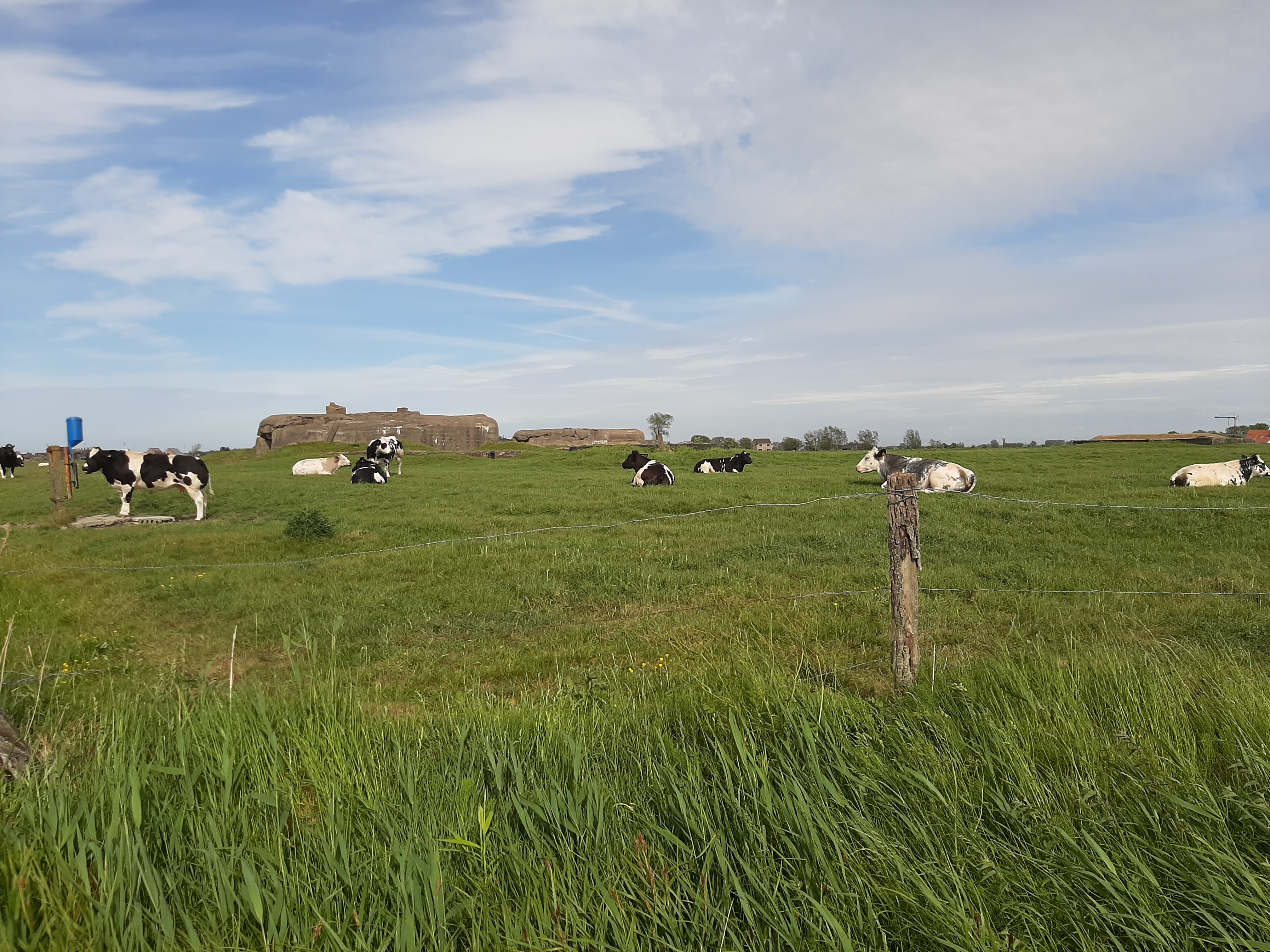
Photo by SMonteyne via Wikimedia
Description
Edit Location
Sign in to edit this location.
Location on Map
Discussion
No comments yet. Be the first!
Nearby Locations
Other mapped sites in the surrounding area.
FA UnterstandBelgium
0 kmID 4640556863View
FA UnterstandBelgium
0 kmID 8638049322View
FA MunitionBelgium
0 kmID 1373063028View
FA Munition (zerst.)Belgium
0 kmID 1198371755View
OBBelgium
0 kmID 6398605028View
FA UnterstandBelgium
0 kmID 0558550543View
FA UnterstandBelgium
0 kmID 4499433345View
611Belgium
0 kmID 9201812986View
OBBelgium
0 kmID 5452952663View
FA MunitionBelgium
0 kmID 8012140924View
B/ON-1184 Duitse BunkerBelgium
0 kmID 756075969470View
Stp HannoverBelgium
0 kmID 3440030240View
Keywords
Military BunkerUnknownBunkerAtlashistorical bunkermilitary heritage