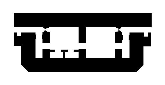
Bunker Tailles is a World War II-era military fortification located in the province of Luxembourg, Belgium. Situated near the village of Tailles, this bunker forms part of Belgium's defensive network constructed during the early 1940s. The region of Luxembourg has a rich military history, with numerous fortifications built to defend against potential invasions during the war. This bunker likely served as part of Belgium's broader defensive strategy during the conflict.
B/ON-1282 Bunker Tailles
🇧🇪 Belgium·Added by @bunkeratlas
Unknown
Military Bunker
Gallery
Description
This research is automated and may contain errors.
Edit Location
Sign in to edit this location.
Location on Map
Discussion
No comments yet. Be the first!
Nearby Locations
Other mapped sites in the surrounding area.
B/ON-1281 Bunker De ChabrehezBelgium
2 kmID 076885404838View
B/ON-1265 Bunker 4 De Baraque de FraitureBelgium
3 kmID 565283365524View
B/ON-1264 Bunker 5 De Baraque de FraitureBelgium
3 kmID 303869541925View
Bunkers 231006730Belgium
3 kmID 4602167067View
Bunkers 231006654Belgium
3 kmID 4884841450View
Bunkers 231006660Belgium
3 kmID 8439318640View
B/ON-1266 Bunker 6 De Baraque de FraitureBelgium
3 kmID 730810929431View
PA-3 de Baraque de Fraiture (LD)Belgium
5 kmID 8494012700View
PA- Wilogne (LD)Belgium
6 kmID 7684494308View
PA-CR1 de Baneux (LD)Belgium
7 kmID 9395441736View
B/ON-1279 Bunker GouvyBelgium
7 kmID 811210305463View
PA-CR2 de Baneux (LD)Belgium
7 kmID 5157513620View
Keywords
B/ON-1282 Bunker TaillesOtherUnknownMilitary BunkerBunkerAtlashistorical bunkermilitary heritage