A military structure designated L480 located near Plouarzel, Finistère, Brittany, France. The specific type, historical context, and current purpose of this site are not confirmed by the available information. The region has a general history of coastal defense fortifications, but no direct link to this particular designation is established in the provided sources.
L480
-
Unknown
Other
Gallery
Description
This research is automated and may contain errors.
Location on Map
Nearby Locations
Abspann-Anker France 0 km away
Abspann-Anker France 0 km away
Bauform 58c "Tobruk" France 0 km away
Abspann-Anker France 0 km away
Bauform 58c "Tobruk" France 0 km away
Re 502 France 0 km away
Re 19 France 1 km away
Bauform 58c "Tobruk" France 1 km away
Bauform 58c "Tobruk" France 1 km away
Feldm. OB France 1 km away
Tobruk GrWfr France 1 km away
Re 19a France 1 km away
Data Sheet
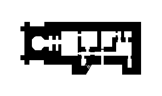
english Name Radarbunker for 'Wassermann S' radar
model Number L480
german Name Unterstand für Wassermann S
concrete M3 1460
wall Thickness B
function Communication posts
dimensions [object Object]
materials [object Object]
Sources
Access Unknown
Is this location still here?
Help keep the map accurate by voting if this location still exists or has been destroyed.