A military structure located near Saint-Valery-en-Caux, France, in the Normandy region. The coordinates 48.4051°N, -4.4348°W place this site in a historically significant area with a complex military heritage. While no specific historical or architectural details are confirmed in the provided web results, the region is part of France's broader nuclear and military infrastructure landscape, as highlighted in discussions about France's nuclear capabilities. Further verification would require direct historical records or field surveys.
FL243b
-
Unknown
Other
Gallery
Description
This research is automated and may contain errors.
Location on Map
Nearby Locations
FL243b France 0 km away
FL243b France 0 km away
FA BII-Stelle France 0 km away
FL243b France 0 km away
B 382 France 0 km away
FL243b France 0 km away
FL243b France 0 km away
FA MG France 2 km away
Vf HWB Munition (zerst.) France 2 km away
FA Katine France 2 km away
Unnamed France 2 km away
FA Revier France 2 km away
Data Sheet
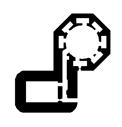
model Number Fl243
german Name Geschützstand für 8,8/10,5cm Flak
english Name Emplacement for 8,8/10,5cm AA gun
concrete M3 647
wall Thickness B
function Open gun emplacements
dimensions [object Object]
armament 10,5cm SKC/38
materials [object Object]
design Release Q3 1942
total Built 63
type Other
status unverified
Sources
Access check_circle Unknown
Is this location still here?
Help keep the map accurate by voting if this location still exists or has been destroyed.